Table of Contents
After a business trip to Buenos Aires (Argentina) I visited El Calafate and El Chaltén in Patagonia. I just love bleisure travel. The area is home to the Glacier National Park and within it you find the most famous mountain of Argentina: Fitz Roy. I’m not a mountaineer nor a professional hiker but I do like unique experiences with beautiful views. It’s a UNESCO World Heritage Site for a reason and the 20-kilometer day hike was awarding as the skies were blue with just a few clouds. Join me on this day hike and I’ll show you the route and share the things to keep in mind.
Fitz Roy Hike; the route & tips
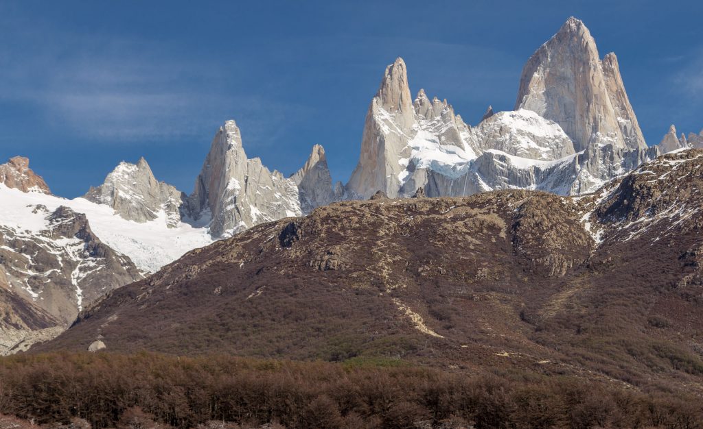
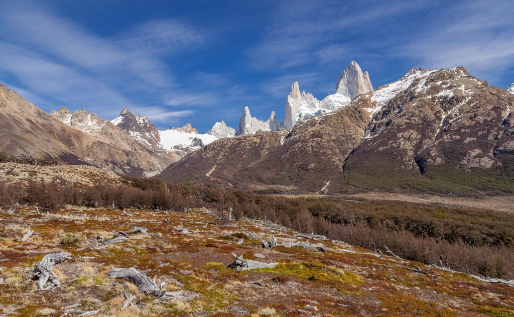
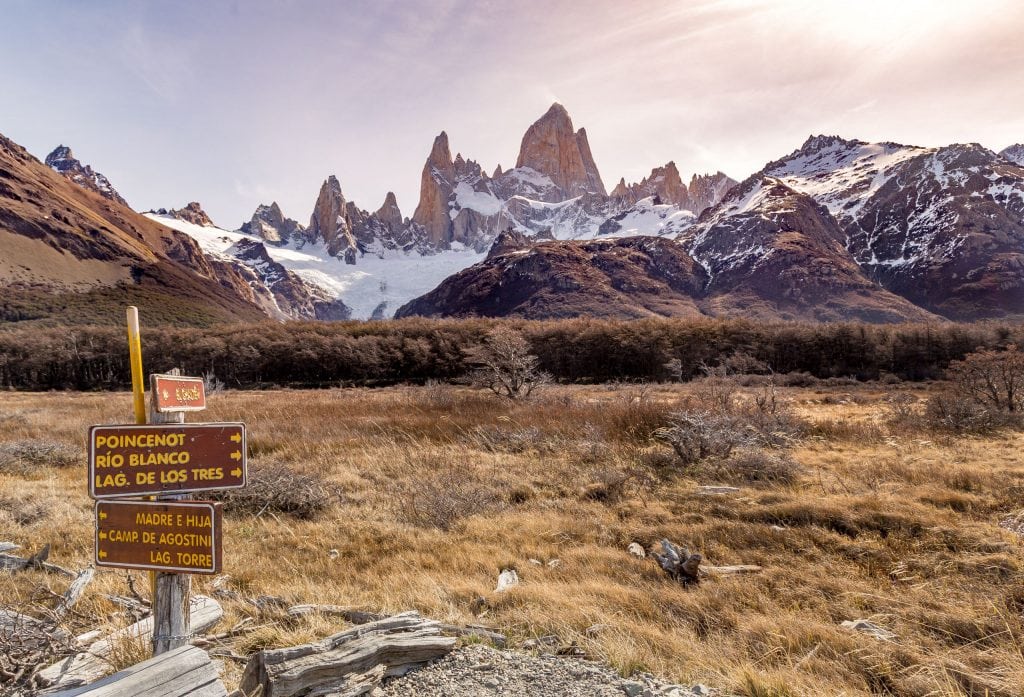
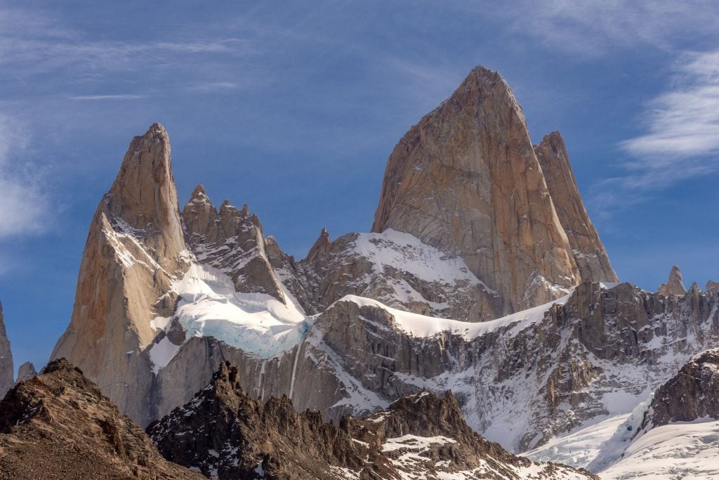
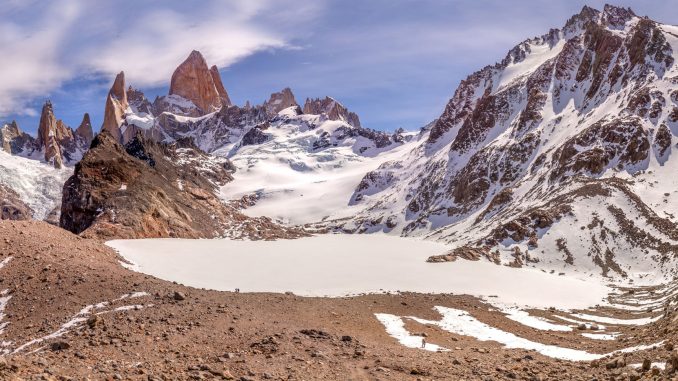
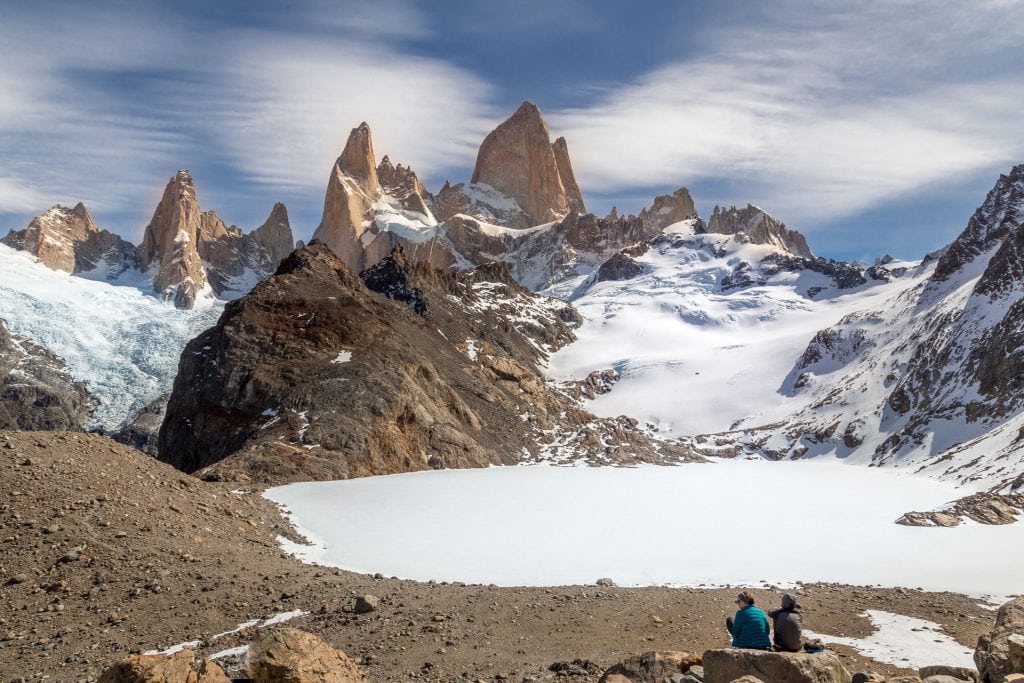
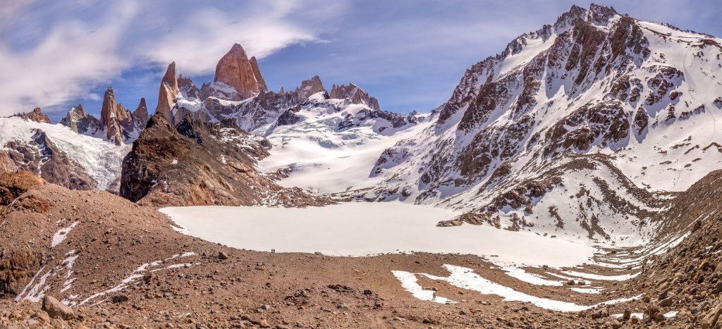
Fitz Roy is a mountain and is also called Cerro Chaltén which translates from Tehuelche to smoking mountain. Not because it’s a volcano but because the mountain is almost always covered in clouds and mist. I have been very lucky with the weather, especially during early October when spring just starts in the southern hemisphere. Weather can change during the day and you might experience all four season the same day. I however was lucky to have a week with just blue skies and a rare hour of rainfall. There was some wind though which I loved even though it was just about 7 degrees Celsius. I hiked the 20 kilometers just in jeans, sport shoes and a light summer jacket; for me personally this was perfect. Just check the weather reports and dress appropriate as you fit comfortable. In good weather, you’ll be rewarded with the following view at the top of the Fitz Roy Hike.
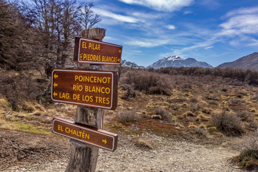
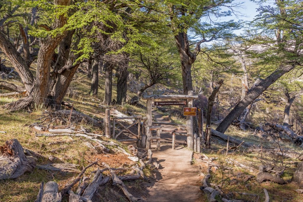
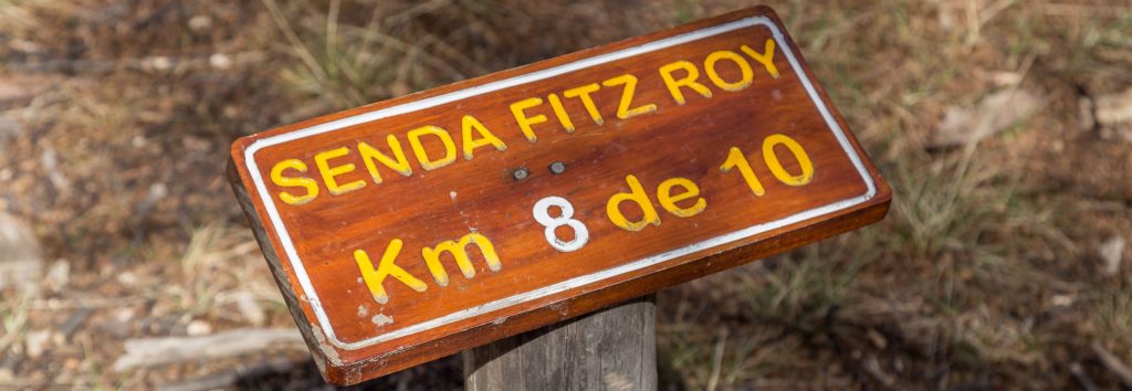
I stayed three nights at the Don Los Cerros Boutique Hotel & Spa and they prepared a lunch box for me to have at Laguna de Los Tres. The hotel also advised to start the hike from El Pilar Hosteria which is a short ride from El Chaltén. The reason is if you start there you don’t need to cover the same area twice. The distance stays the same at about 20 kilometers’ total. Each kilometer is marked as you can see in the photo below so you’ll know how far more you must go.
From the hotel in El Chaltén, I took the shuttle at 9:30 AM so that I could start my hike at 10:00 AM which I advise is the latest time to start. If you start much later you might end up hiking the last part back in the dark which is absolutely not advisable. In summer time, however sun sets only at around 10 PM. I reached the 9-kilometer sign after about 4 hours but I knew the hardest part would be the last kilometer up to the Laguna de Los Tres. It was well worth the hike up and to have a Serrano ham sandwich in front of the magnificent Fitz Roy. After lunch, I started my journey back at about 3:30 PM which left enough time to be back at dinner time. One last thing to keep in mind is that you can refill water bottles with water from the glacier streams. I however didn’t pass any major good streams except at the 8 and 9 kilometer points just before the ascend. This could be due to the season but I recommend to carry at least a liter from the start.
Fitz Roy Hike; the first leg of the trail
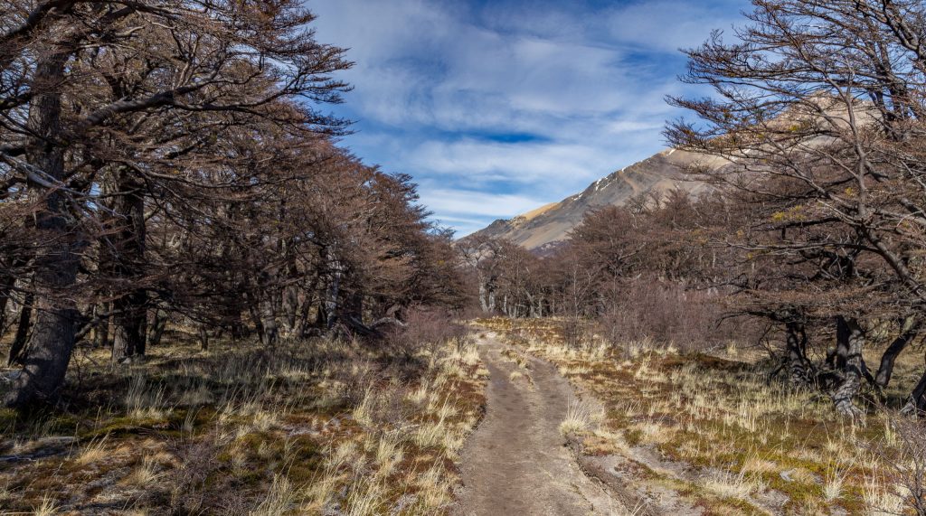
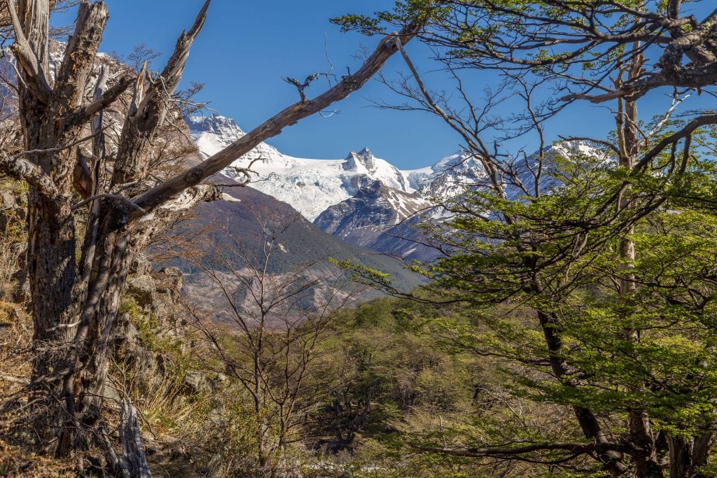
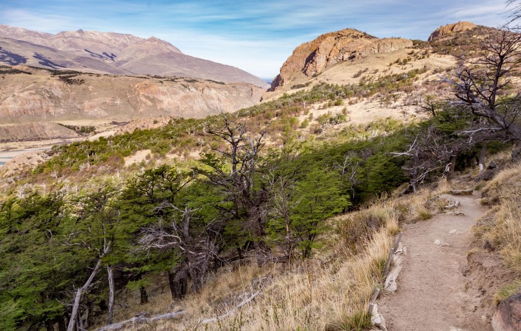
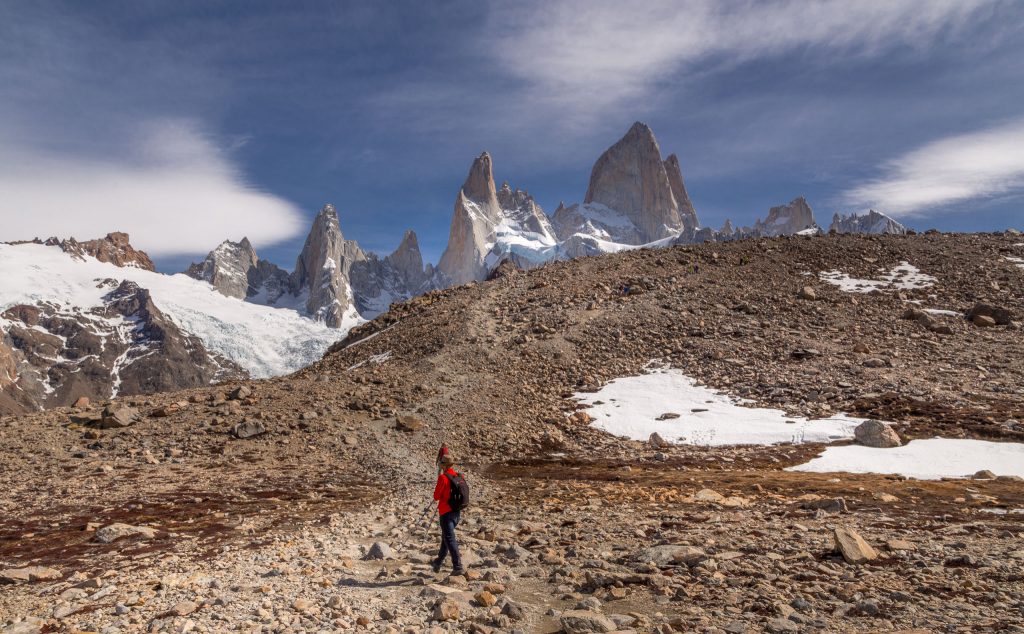
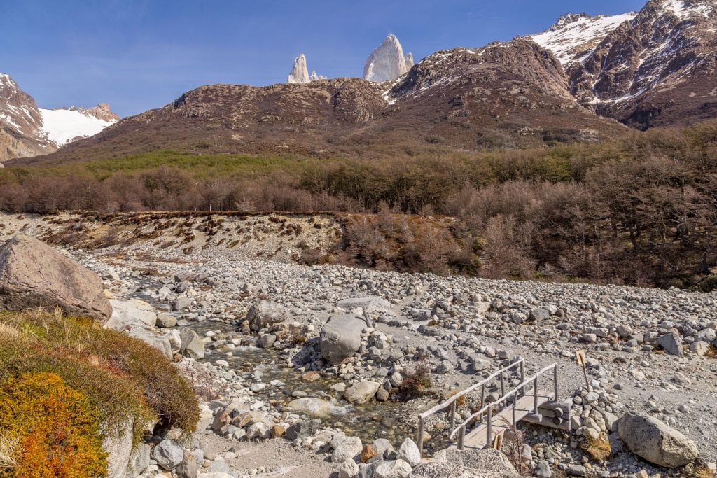
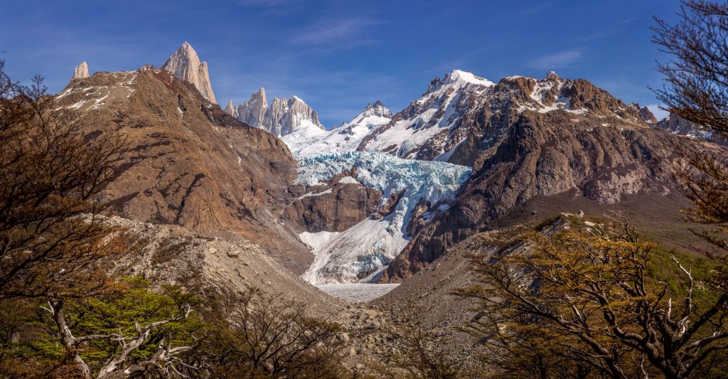
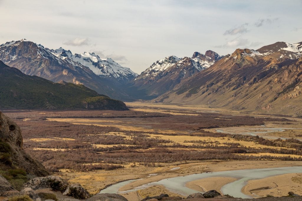
The drive to El Pilar Hosteria takes about 30 minutes through the Vueltas River valley; you’ll have a beautiful view off the valley later during the hike. My Fitz Roy hike started at the El Pilar Hosteria. I walked towards Camp Poincenot in about 3 hours which is the base of the final ascend to the view-point at Laguna de Los Tres. The elevation gain during the first leg isn’t huge with just two parts where you’ll need a bit of energy but these ascends just take 15 minutes. A forest path makes up most the first part of the trail. If the weather is in your favor you will see Fitz Roy’s peaks in a distance. Just about half way of the first leg you’ll have a beautiful viewpoint which gives a magnificent view on the Piedras Blancas glacier opposite the valley.
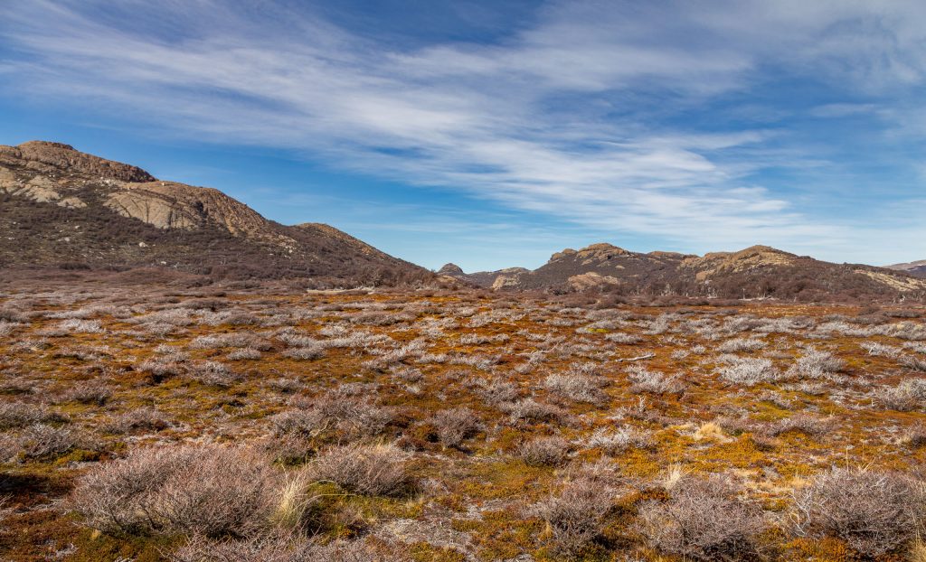
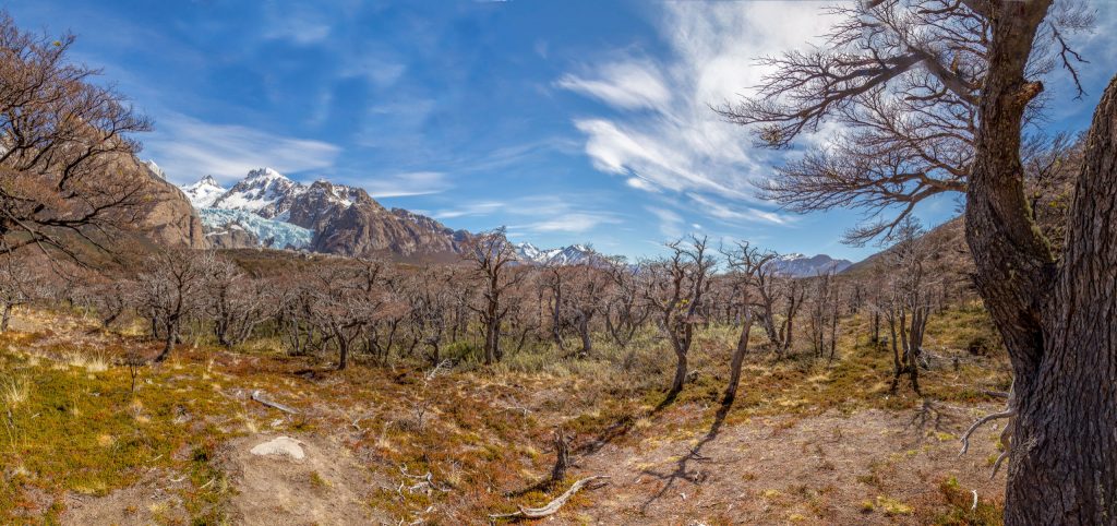
The Fitz Roy trail then continues further passing a more open landscape towards a small forest area at Camp Poincenot. I was getting worried about my water supply as during this first leg I didn’t see any streams crossing my path until at Camp Poincenot. I filled up my bottle and allowed myself to take a 10-minute rest with a small snack before the final ascend. This final kilometer would be the toughest part of todays hike but a necessity to reach the viewpoint at Laguna de Los Tres.
Fitz Roy Hike; the ascend, the tough part of the trail
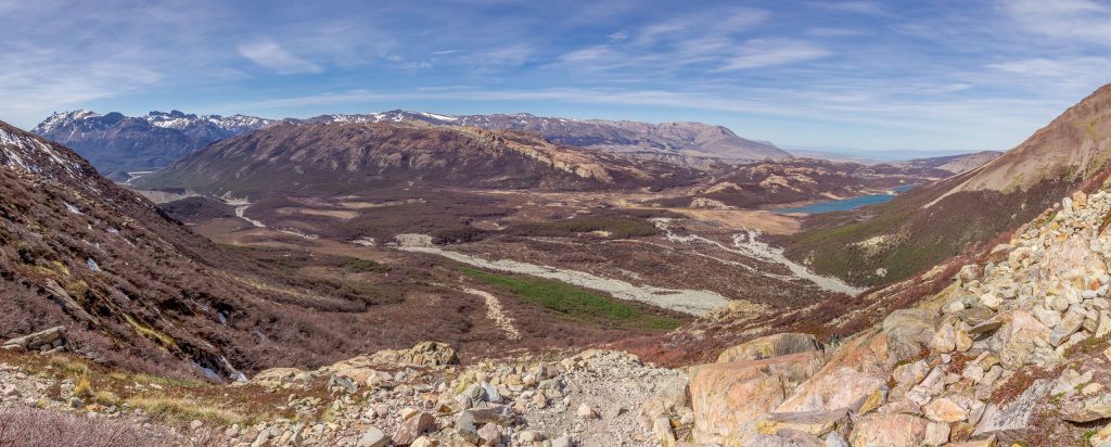
The final ascend is just a kilometer in length but it’s a steep and strenuous hike up. It’s signposted that this part would take about an hour but I needed just a little more time. The path is rocky and you must be carefully where you put your feet to not slip. I would not recommend this climb in heavy rain but in the sunny weather it was a pleasant hike up. You’ll only see the tip of Fitz Roy all the way up and the valley view in the back is magnificent with Laguna Capri on the right-hand side.
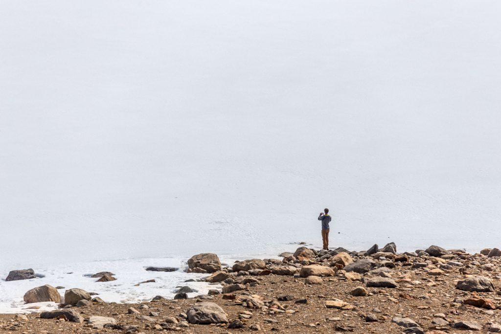
I thought I reached the top but then I found out there was a small hill left to conquer. That really was the last part and I could see Fitz Roy mountain and all its peaks in glory in front of me. Simply unique and magnificent. The glacier lake was still frozen and parts were covered in snow as spring was just starting. When I reached the top I first stood for 10 minutes just admiring the natural beauty. To really experience a view and have your brain remember it vividly you’ll need to watch it for 5-10 minutes. Fitz Roy is the tallest peak at 3375 meters with Poincenot and Torre standing next to it; a triplet.
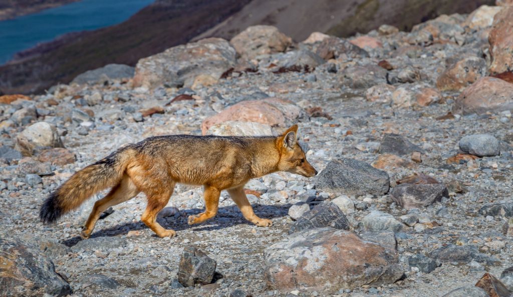
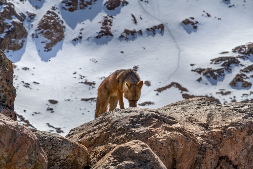
I got hungry and I quickly sat down to have my sandwich. In case you are not as lucky with the weather as me I do recommend to make pictures as soon as the peaks are visible. During lunch a fox which was curious about all the people watching the Fitz Roy mountain stopped by. I spend just over an hour at the top just relaxing in the sunshine with a panoramic view on Fitz Roy mountain. At 3:30 PM it was time to continue to make the descend and make the final leg back to El Chaltén. While I descended, there were still people hiking up which I don’t recommend at such an hour unless you’ll stay overnight at the campsite. You might need to hike the last part in the dark which is inadvisable.
Fitz Roy hike; the final leg of the trail
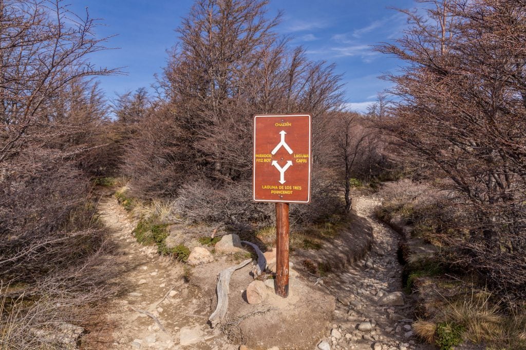
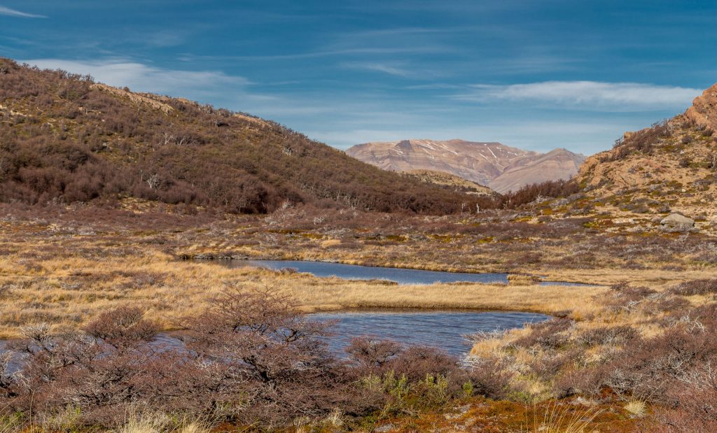
The kilometer descend went, of course, much faster as the ascend and I passed the campsite around 4:45 PM. As I didn’t know how much water streams I would come across I filled up my two bottles of water at the main stream after which I started following the trail back to El Chaltén. This was a good choice as I didn’t pass anymore – drinkable – streams but this could be due to the season I visited. The first part is very flat until a point where you must decide to go left or right. Left will give a view on the Vueltas River Valley, a view you will have at later points too. I decided to go right and have a look at the Laguna Capri, with the massive in the back.
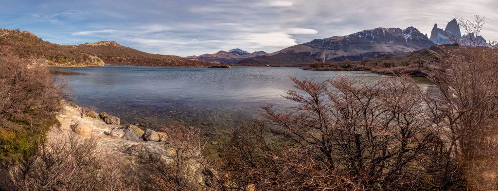
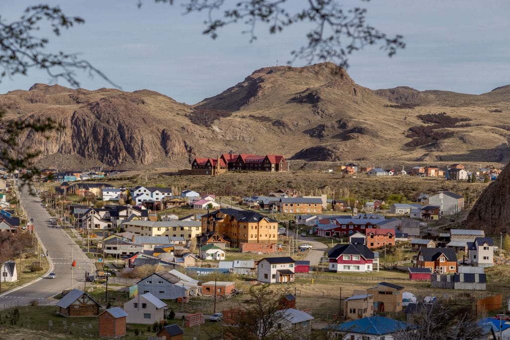
The final part is first a slow winding descend with a last view at the Vueltas River Valley. You will then reach the final descend which is a steep descend to El Chaltén. Can you guess the second reason to start at the Hosteria Pilar? If you walk the trail the other way around, you’ll have to ascend here which I preferred to not do. The drive to Hosteria Pilar already covers most of the elevation gain thus leaving more to descend during the hike. I finished my water already two hours before I reached the end of the Fitz Roy trail where I could refill my bottle. Especially the last hour was though for me, not directly physically but simply because there weren’t that many good views anymore except the final view on El Chaltén.
It was a long day and a long hike but it’s a Patagonian hike that can perfectly be done in a day. The view was rewarding but I must admit that weather will decide if you have a good view or not. It’s one of the two hikes I did in El Chaltén, I’ll cover the hike to Cerro Torre in another article. In El Chaltén I recommend to stay in the Don Los Cerros Boutique Hotel & Spa. If you visit the area, make sure to do a glacier cruise with a gastronomical lunch too. Also, read about my other adventures in Patagonia as there is so much to see more.
Stay tuned for more stories and subscribe to the newsletter or follow CTB on social media (Facebook, Twitter, Instagram including Instagram stories; on all social media you can find CTB @christravelblog) to get updated information.
Did you visit the Fitz Roy mountain too or do you have questions? Please leave a comment at the bottom of the page. Love to hear from you!
Gallery Fitz Roy trail
Click an image for a full screen gallery of more photos taken during this trip. If you like to use any photo for commercial, private or editorial use please contact first for permission and/or pricing.


